08 March 2021
The Role of Big Data Visualization in Smart City
Adopting big data in city management can help administrators improve life quality for the citizens. As we know, traffic flow, waste, pollution and security issues are constantly shifting issues if we live in big cities.
Therefore, data mining from public places can help administrators shift their management strategies of these sectors on a real-time basis.
For instance, it can help the city of Jakarta redirect traffic when there’s a particular clog in a particular intersection. Or when there’s a big trash pileup in a certain neighborhood, extra trucks can be deployed there just for that day.
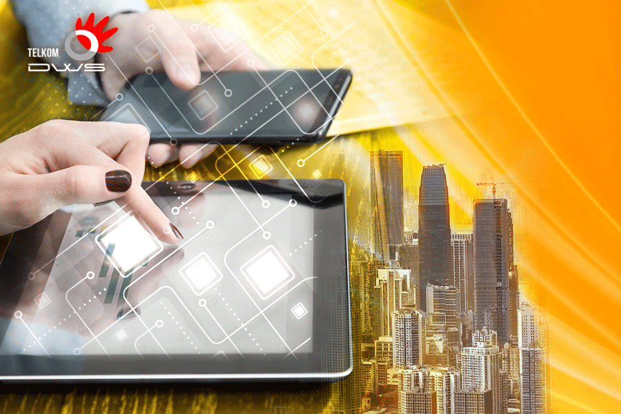
As we have known already, big data is enormous in terms of its variance, size and scale. Therefore, presenting the data in simple, understandable, quickly grasped manner among the urbanites busy with their daily hustle and bustle becomes essential.
Perhaps this is the reason why visualization becomes the most popular form of data presentation. Especially in graphics and icons which the human minds can rapidly make sense of.
Visualization also simplifies the complexity and diversity of constantly shifting patterns and trends.
For instance, drivers can easily change their route the moment they notice on a billboard or their smartphone app that a particular intersection is currently on gridlock.
At the same time, people who work in the sanitation department can easily decide, to which parts of the city they should send extra pick-up trucks simply for that day.
How the cities have done it
Smart cities have increasingly been using sophisticated data visualization and controls to analyze data streams, operate, monitor and control systems, according to liveearth.org.
These surveillance activities are mainly directed toward protecting the environment, city infrastructure, investments and the citizens, while at the same time striving to improve well-being by mitigating traffic jams, loneliness, pollution and waste as have already been mentioned.
True to the premise above, Live Earth’s solutions have actually helped various city managers and department executives to see and respond in real-time to the constant changes through the visualizations.
Curious with how some cities have successfully implemented visualizations to make the headache-inducing city life somewhat better? Take a look at these examples:
Improving public transit infrastructure
City populations keep on getting bigger every day. Amid these challenges, transit operators can use smart city data visualizations in order to monitor the density or crowdedness of particular fleets and platforms.
Minimizing impacts of city disasters
In Jakarta, there’s always an annual problem with floods. Furthermore, cities like Singapore can also deal with frequent rainstorms.
Visualization can help citizens protect themselves should they be at work or need to still resume their activities amid such dangerous disasters.
Community waste management
As we’ve known already, Indonesia has lots of wastebanks but with sub-optimal utilization. Part of the problem is the absence of people who can connect the dots among the scavengers and recyclers, among others.
Visualizations can help link recyclers identify underutilized wastebanks from which they can source their raw materials.
In 2021, to make Jakarta’s life better for everyone, especially amid the trying times of the COVID-19 pandemic, it is time that we switch our paradigm about public information to a more visualized one using big data.
If you are eager to learn more about Big Data and its implementation, you can visit our website at https://mycarrier.telkom.co.id/big-data
Is this information helpful?